The day started with a good night’s sleep; an almost rare thing for me. I had planned on leaving at 9AM but when one wakes up at 8:45A you realize that’s not going to happen. We did leave the house around 10 o’clock so no big deal.
The drive to Lambs Knoll was supposed to take two hours and fifteen minutes. Including a quick stop for lunch, we were at our destination around 12:20P. Lambs Knoll was the site of a secret Cold War communications station, Presidential Emergency Facility Site 7 - Corkscrew, from the late 1960s until the 1970s (or later?). The site now houses the Federal Aviation Administration (FAA). The site is 536m (1,758ft) above sea level and is designated W3/WE-007 by the Summits on the Air (SOTA) organization (also designated K-6390 for the South Mountain State Battlefield State Park and K-4556 for the Appalachian Trail National Scenic Trail by the Parks on the Air (POTA) organization). The goal of the day was to activate the summit using portable HF and VHF radios.
We parked just outside the gate of the FAA complex and hiked around to the tower site used by the state of Maryland, County of Washington, and other tenants. A small foot path leads from the roadway, here, to the Appalachian Trail (AT) just above White Rock Overlook.

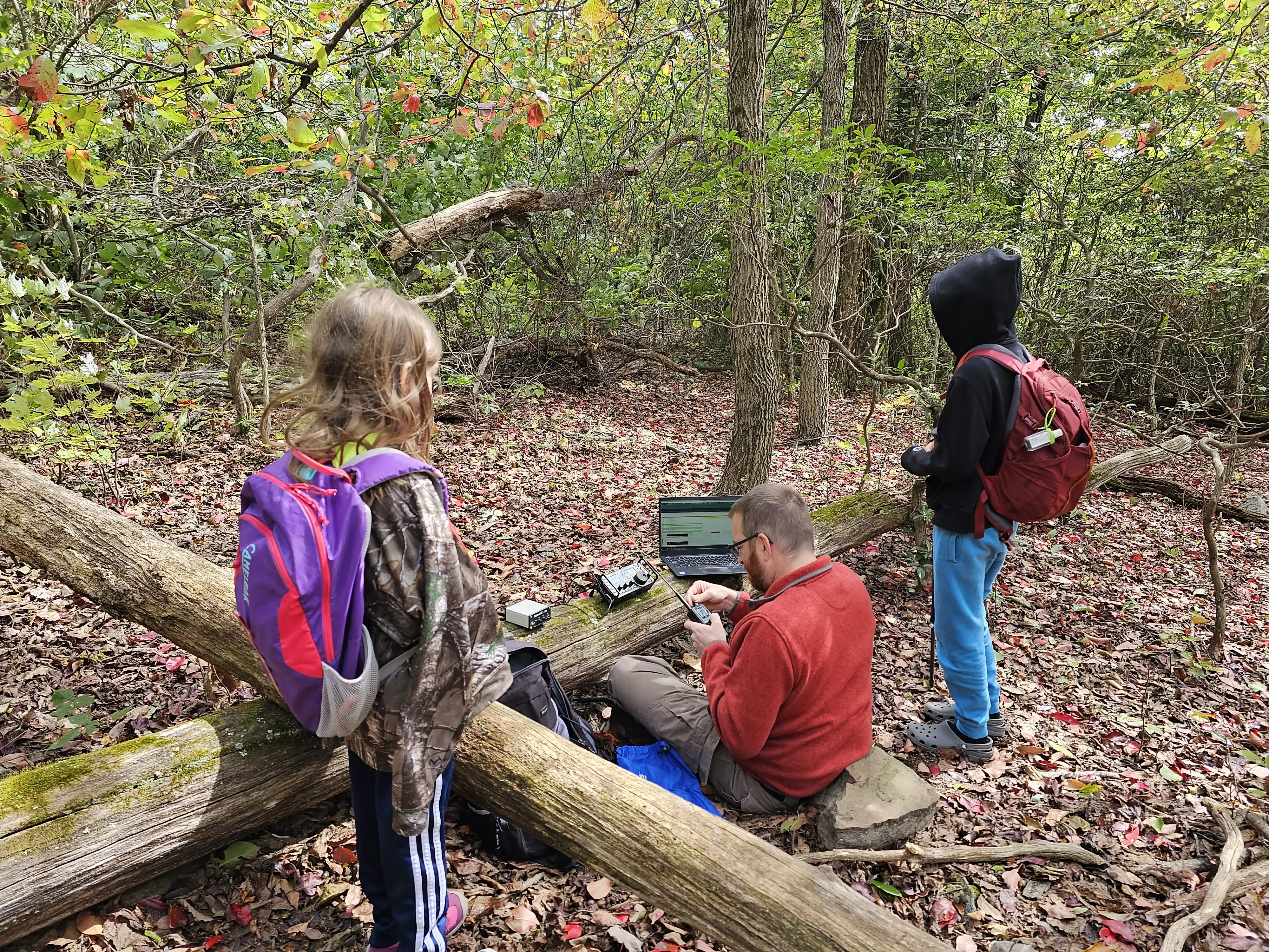
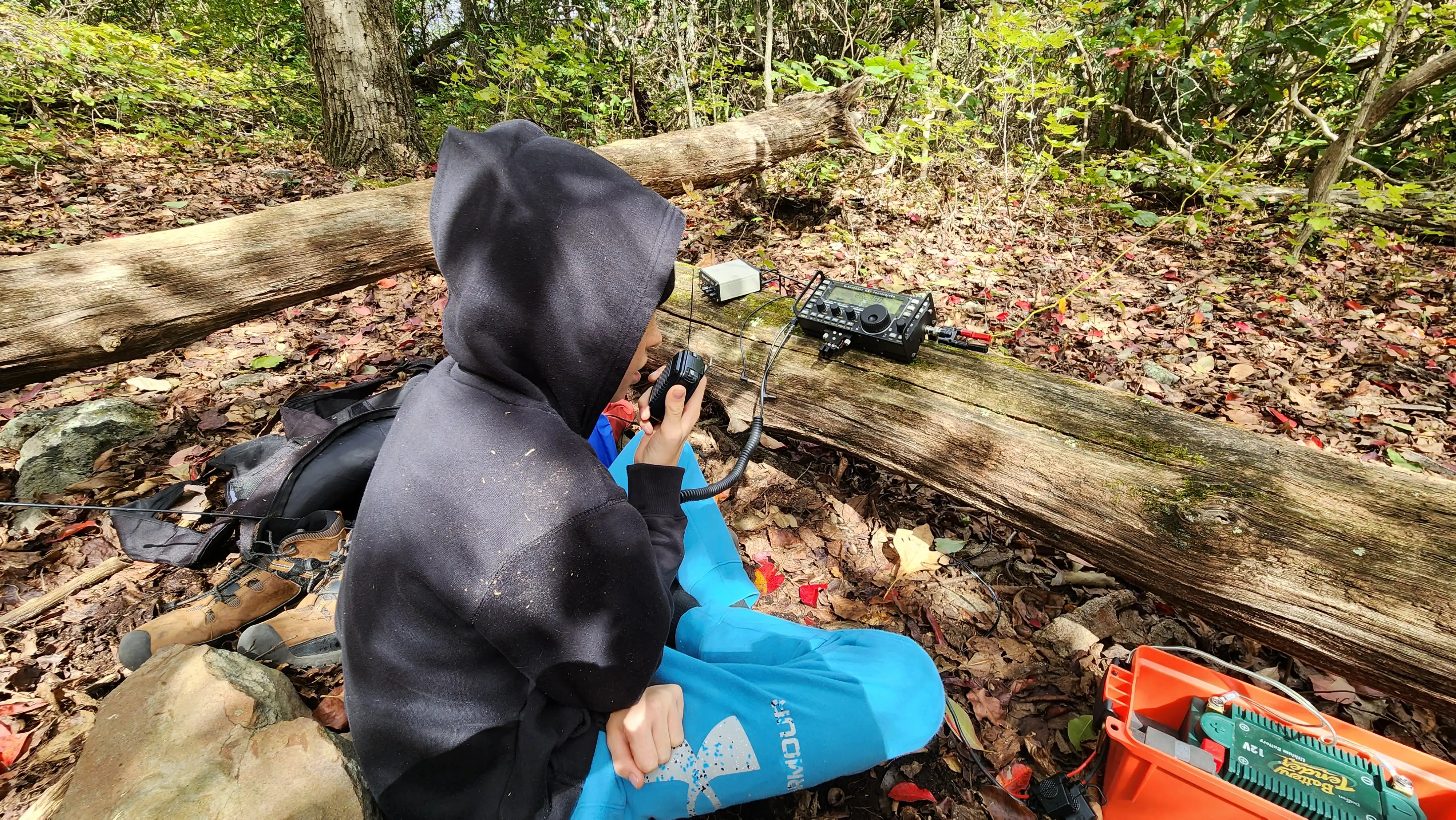
A small clearing (well, a less covered area) showed itself just before reaching the AT and that is where I setup my Elecraft KX3 and end-fed half wave (EFHW) antenna. The antenna ended up being much lower than I usually like, but contacts were made on 20 and 40 meters.
Once I had the antenna up and power connected, I realized I had left my CW key in the car. Luckily my family hadn’t left the car, yet, so they were able to bring it to me. While I waited I made a few contacts using voice and then setup for digital modes.

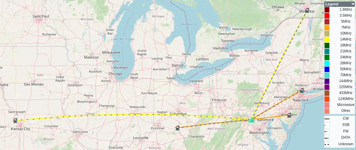
Twenty meters yielded nine contacts within the first thirty minutes. Voice only yielded two contacts with the remainder being on FT8. I switched to forty meters and made three contacts using FT8 and three more using CW. In all, fifteen contacts were made by me and three by Harlan (one on two meters and two on ten meters).
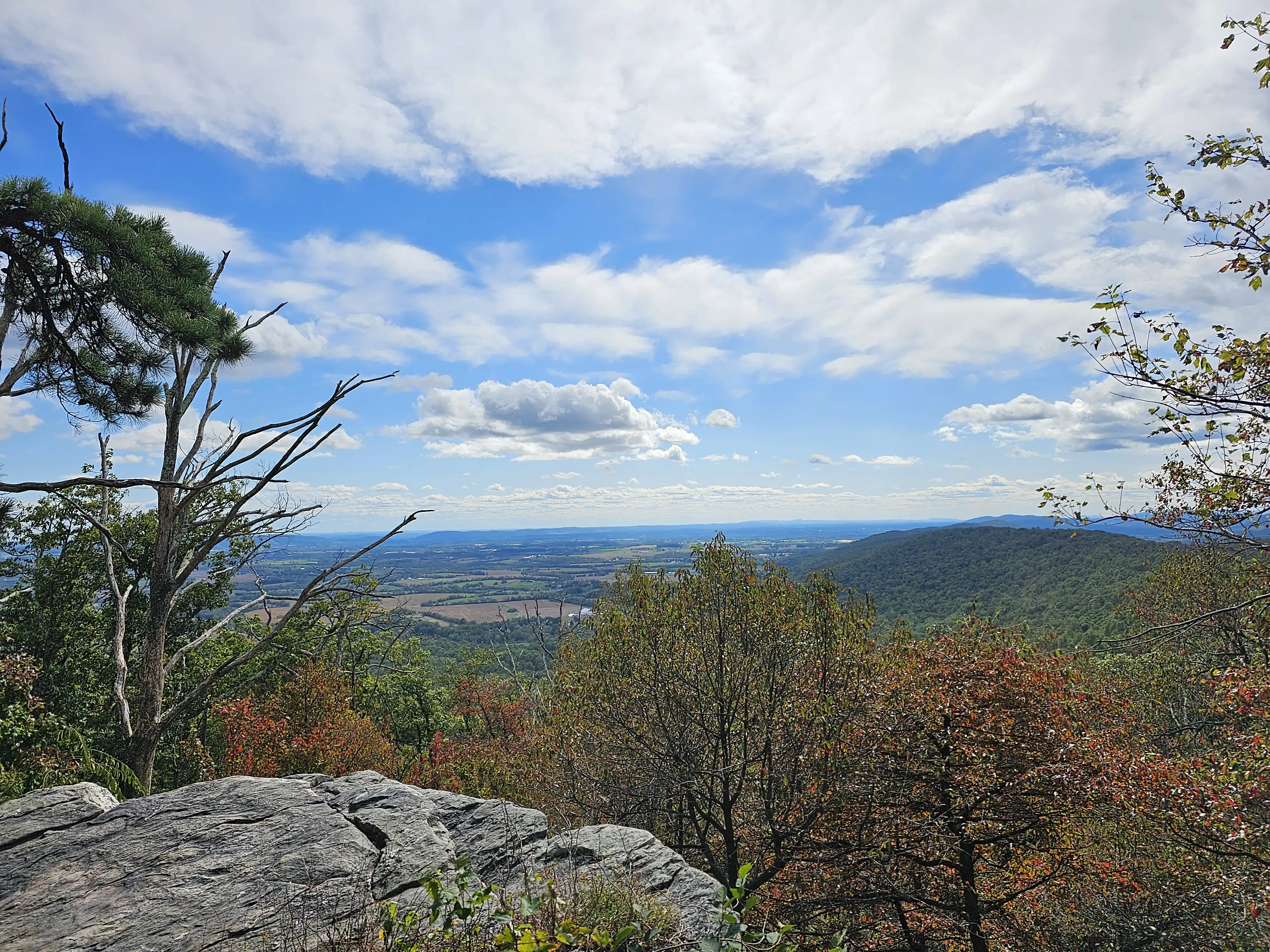
We packed up and joined the rest of our party just up the trail at White Rocks Overlook. Several other hikers were gathering there so we moved on after a few minutes.

We tried to activate two additional summits but were not successful. We found where the trail head for Blue Ridge summit (W3/WE-013) should have been, but it wasn’t clear that a trail existed there. The Red Hill summit (W3/WE-019) is all residential, now, with no public lands available to operate from. I may have a way to activate this summit, however, so I’m not ruling this one out just yet.
We drove back to the base of Lambs Knoll and I hiked in to Rocky Run Shelter and camping area. After verifying the map data, I hiked out and then we headed to Frederick for supper.
After parking at the MARC train station, with the car charging, we walked along Carroll Creek towards the downtown area. Frederick Social was our destination where we we ate some very tasty food. Amanda was able to sample a few beers they had on tap and we watched part of a football game before heading out.
We arrived back home and everyone passed out from the busy day. Can hardly wait for the next adventure!
Contacts made on Lambs Knoll
| Time | Callsign | Band | Mode | Notes |
|---|---|---|---|---|
16:52 |
KO4WDT |
14MHz |
SSB |
P2P K-2206 Vogel State Park |
16:58 |
W0MNA |
14MHz |
SSB |
|
17:05 |
KB9HUO |
14MHz |
DATA |
|
17:06 |
K4VHE |
14MHz |
DATA |
|
17:07 |
KO4LEM |
14MHz |
DATA |
|
17:10 |
KQ4DIA |
14MHz |
DATA |
|
17:16 |
AD0DQ |
14MHz |
DATA |
|
17:17 |
KM4IOA |
14MHz |
DATA |
|
17:19 |
VE2JFM |
14MHz |
DATA |
|
17:27 |
K4YJ |
7MHz |
DATA |
|
17:31 |
AG4JO |
7MHz |
DATA |
|
17:32 |
N2BTD |
7MHz |
DATA |
|
17:41 |
K2FW |
7MHz |
CW |
|
17:48 |
KK2B |
7MHz |
CW |
|
17:50 |
K8ITU |
7MHz |
CW |
